Project Ultra will involve two cruises onboard the RSS James Cook.
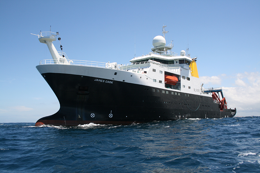
Two research expeditions in 2022 and 2023 on board the RRS James Cook will drill the hydrothermal deposits then seal the boreholes.
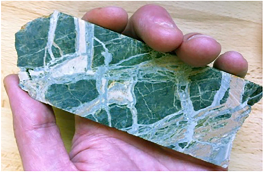
The boreholes allow the collection of rock and fluid samples, to reveal the composition, structure, fluid pathways, alteration and preservation of deposits.
ULTRA 1 (March–April 2022)
The sites of mineralisation will be surveyed by a robotic underwater vehicle called HyBIS. It will:
- Identify and place landing lights around the drilling targets,
- Take rock samples,
- Make video surveys to map the seafloor,
- Precisely place ocean bottom seismometers on the seafloor.
Drilling and coring the sulphides will be done using a seafloor drill rig (called RD2 and operated by the British Geological Survey). This will:
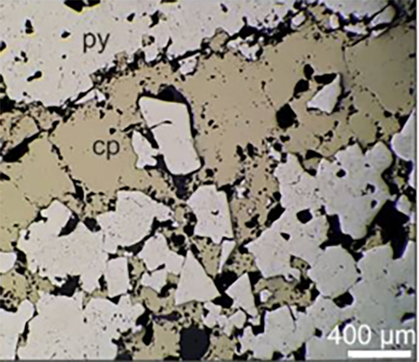
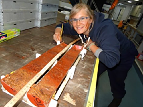
- Provide cores for detailed laboratory analysis (mineralogy, geochemistry and isotope signatures) allowing us to test ideas about how these particular deposits form
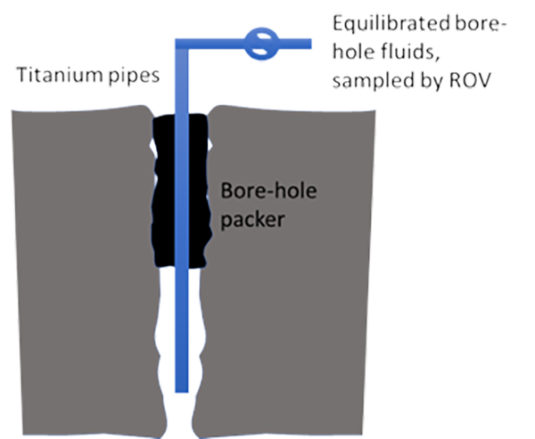
- After drilling, the boreholes will be sealed, so that the fluids can be recovered and analysed on the second of the Project cruises the following year to understand the chemical processes ongoing deep within the deposits.
Coring nearby sediments will allow us to understand the history of the ore formation including the timing of tectonic, volcanic and hydrothermal activity.
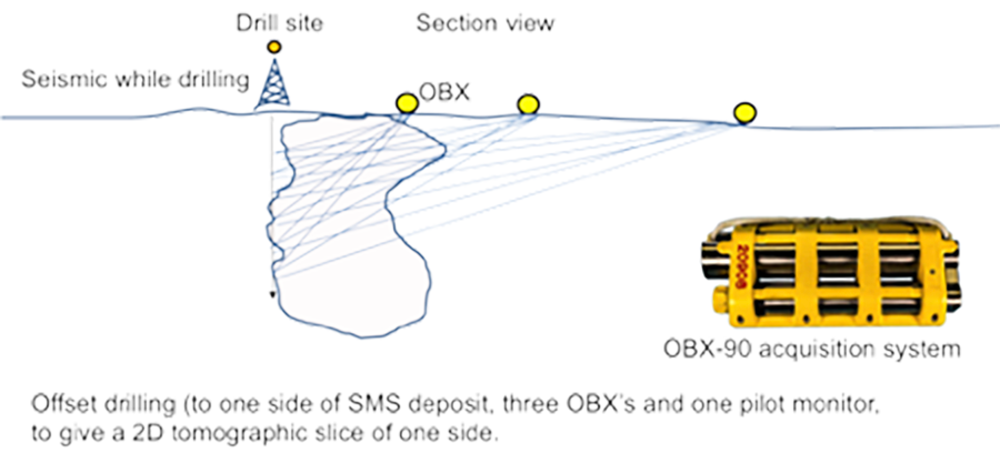
We will also develop and test new types of sub-seafloor imaging including seismic-while-drilling. The method uses vibrations from the drill bit of the RD2 rig, recorded by the precisely located ocean bottom seismometers, to form images of the contrasting rock types under the seafloor in and around the µSMS deposits.
ULTRA 2 (2023)
The second cruise will deploy the Remotely Operated Vehicle (ROV) Isis to:
- Recover samples from the sealed boreholes drilling in ULTRA 1, which will be analysed for information on their composition and source, and how variable they are.
- Sample vent fluids and gasses from active hydrothermal chimneys nearby.
- Conduct additional sampling of rocks from the deposits.
- Deploy 23 Ocean Bottom Seismometers that will record the vibrations from a near-bottom low-frequency seismic source to image the structure of the mineral deposits and its surrounding rocks beneath the seafloor. We will also shoot seismic sources from the RRS James Cook to image the wider geology of the mineralised sites.
Our partners from the German oceanographic institute, GEOMAR, will conduct an Electro-Magnetic (EM) survey (using their new instrument called MARTEMIS) to image the conductivity structure beneath the seafloor and identify where sulphide minerals are located.